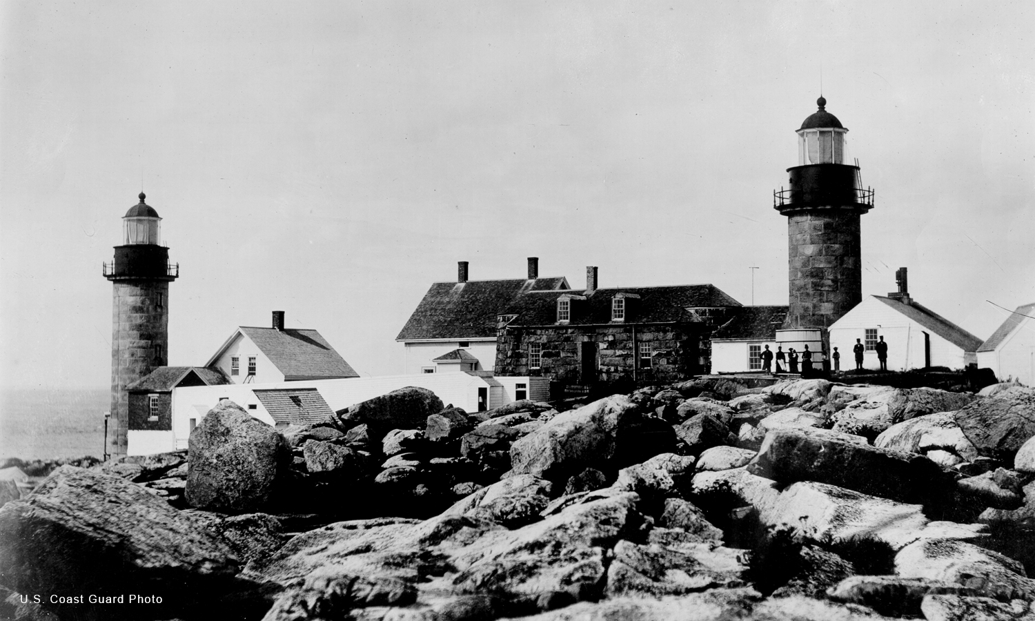
Matinicus Rock Lighthouse
Location: Approximately 5 miles SE of Matinicus Island
Latitude: 43°47'01.0"N Longitude: 68°51'17.7"W
Latitude: 43°47'01.0"N Longitude: 68°51'17.7"W
Station Established: 1827
Second Tower Built: 1857
Automated: 1983
Structure Status: Standing
Tower Height: 48 Feet
Focal Plane: 90 Feet
Present Day Optic: VRB-25
USCG Unit Responsible for Aid to Navigation: ANT Southwest Harbor
Historic Structures Remaining: 
1846 keeper's house
1890 oil house
Lighthouse Owner: U.S. Fish and Wildlife Service

Matinicus Rock Lighthouse - U.S. Coast Guard Photo
- Pondering Abbie Burgess and the ABBIE BURGESS
- A ‘Story Kind of Nice’ from Matinicus Rock Keeper
- A Happy New Year Day
- Thanksgiving at The Rock
- Storm Wreaked Havoc on Maine Lighthouses
- Matinicus Rock Through the Eyes of an Island Child
- Matinicus Rock Light Poem
- Recalling Fourth of July Festivities at Matinicus Rock Light