Marshall Point Lighthouse
Location: Port Clyde
Latitude: 43°55'02.8"N Longitude: 69°15'40.3"W
Latitude: 43°55'02.8"N Longitude: 69°15'40.3"W
Station Established: 1832
Present Tower Built: 1857
Automated: 1971
Structure Status: Standing
Tower Height: 31 Feet
Focal Plane: 30 Feet
Present Day Optic: VLB-44
USCG Unit Responsible for Aid to Navigation: ANT Southwest Harbor
Historic Structures Remaining: 
1895 keeper's house
1905 oil house
Lighthouse Owner: Town of St. George
PO Box 247, Port Clyde, ME 04855
207-372-6450
http://www.marshallpoint.org/
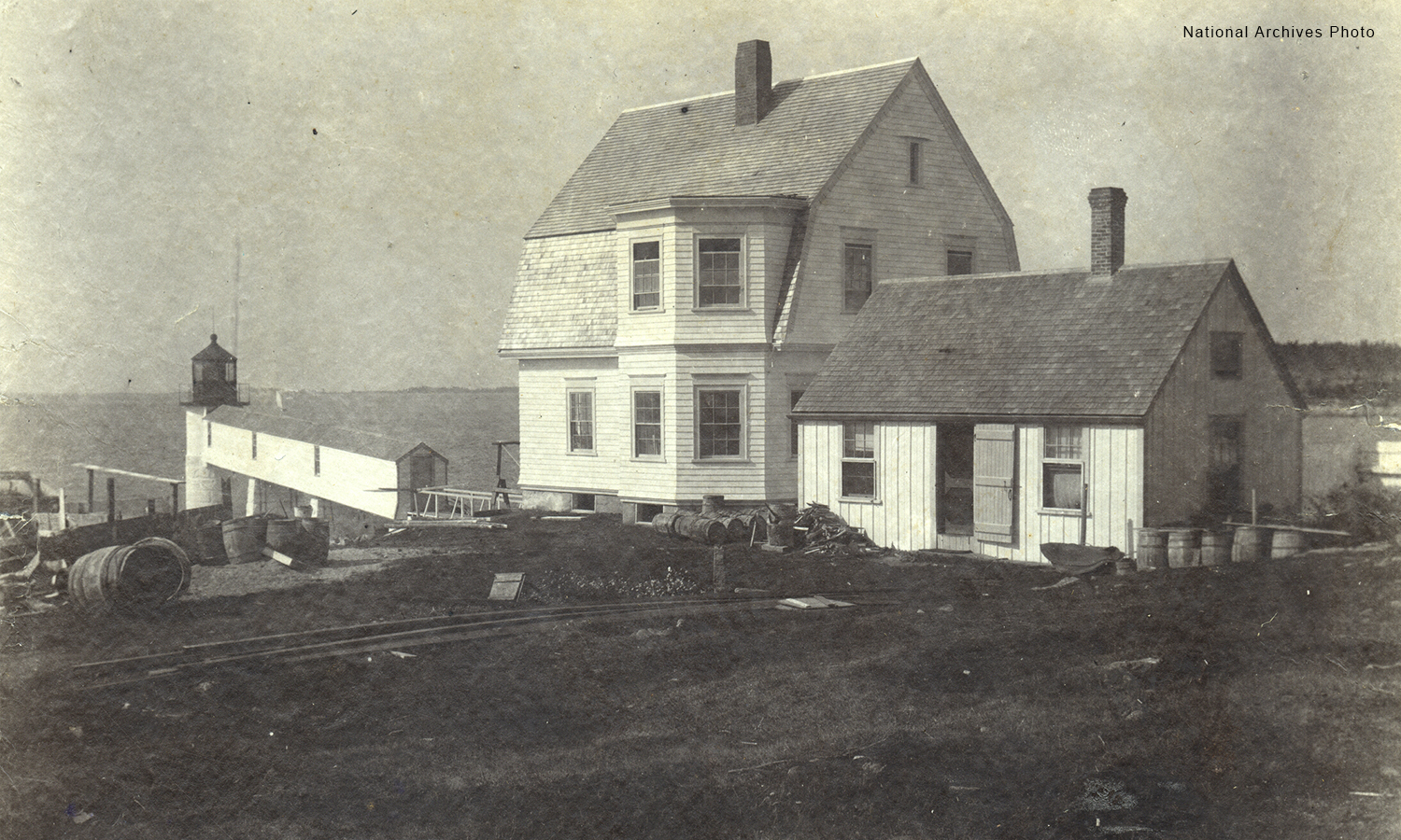
Marshall Point Lighthouse - National Archives